

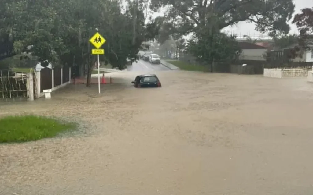
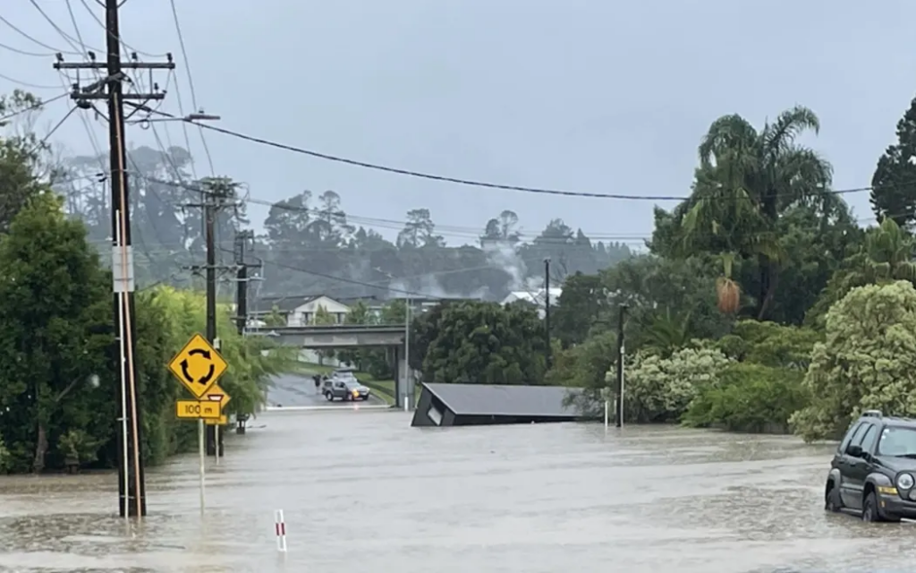
Flooding and stormwater management have become increasingly important considerations for development in Auckland. Following major storm events in recent years, Auckland Council has introduced Proposed Plan Change 120 (PC120) to strengthen how natural hazards are assessed and managed, including as part of a resource consent application.
If you are planning to build, extend a dwelling, subdivide land, or undertake earthworks, it’s important to understand whether flood hazards affect your site and how this may influence what you can safely do on your land, and the resource consent process.
This blog provides a high-level overview of flood hazards under PC120 and what property owners and developers should consider early in a project.
What are flood hazards?
Flood hazards refer to areas that may be affected by surface flooding during heavy rainfall events. These areas are identified through flood modelling and mapped within the Auckland Council’s GeoMaps. You can find out how to use the flood hazard maps from Geomaps in our blog here.
Flood hazard features include:
- Floodplain
A floodplain is land that can be flooded during heavy rain. It shows where water may flow or spread, even when the drainage system is working properly, and takes into account future development and climate change. It is often called the “1 per cent annual exceedance probability (AEP) floodplain”. - Flood Hazard Areas
- Flood hazard areas include floodplains, flood prone areas, and overland flow paths.
- Overland Flow Paths
- A low-lying area (not including streams) where stormwater naturally flows across land during heavy rainfall.
These features are mapped in the Auckland Unitary Plan and can be viewed through Auckland Council’s GeoMaps here.
More information on PC120 can be found on Auckland Council’s website here.
Why flood hazards matter for development
Development within flood hazard areas can potentially:
- Increase flood risk to buildings and occupants,
- Redirect overland flow path onto neighbouring properties, increasing the risks for those people and property,
- Reduce natural flood storage or drainage pathways,
- Increase damage during severe storm events.
Because of this, the Auckland Unitary Plan (and PC120) includes rules to ensure development:
- Manages flood risk,
- Maintains the function of floodplains and overland flow paths,
- Provides safe building platforms, access and services areas for future occupants.
Where development (which can include earthworks, additions and alterations to buildings as well as new buildings and subdivision) is proposed within these areas, resource consent may be required.
Common situations where resource consent may be triggered
If a property contains flood hazards, resource consent in Auckland may be required for activities such as:
- New buildings or extensions within a floodplain
You require specialist assessment to confirm that the building platform, access and servicing areas are safe from flooding.
- Earthworks within flood hazard areas
Excavations or filling can change ground levels and alter overland flow paths. Filling can also reduce the flood storage in floodplains and affect overland flowpath capacity.
- Vegetation alteration or removal within flood hazard areas
Removing or modifying vegetation, within a floodplain may trigger the need for resource consent.
- Works within an overland flow path or flood plain
Structures such as retaining walls, fences, or buildings may obstruct the overland flow path or flood plain or affect its capacity.
- Subdivision of land affected by flood hazards
Council will assess whether future building sites can be developed safely, and if they can be accessed and serviced.
Information to obtain early in the project
Identifying flood hazards early in the design process can help avoid delays and redesign later in the consenting process. Key information that is often helpful at the start of a project includes:
- Flood hazard mapping review
Confirm whether the site contains floodplain areas, flood hazard areas, or overland flow paths.
- Topographic survey
Accurate site levels are important to understand how water flows across the site.
- Civil engineering advice
Specialist input may be required to confirm flood levels or assess mitigation options.
- Building platform design
Finished floor levels may need to be located above predicted flood levels.
- Flood effects assessment
A technical report may be needed to demonstrate that the proposal will not worsen flooding.
Engaging planning and engineering advice early will help ensure the design responds appropriately to these constraints, and that natural hazard effects are understood and appropriately managed. Often your planner will manage these other specialist inputs for you.
Your site could also be affected by landslide risks. You can find out more about this on our blog here and the maps related to that here.
Final thoughts
Flood hazards are an important consideration when buying or developing land in Auckland. Proposed Plan Change 120 places greater emphasis on managing flood risks and improving resilience but is still subject to change through the plan change process.
If you are considering development on a site affected by flood hazards, early planning input can help identify potential constraints and develop practical solutions.
If you’re looking at developing a site, get in touch with us at Planning Plus. With over 65 years of experience, we will assist you with the process, along with the management of your resource consent application. You can contact us on hello@planningplus.co.nz or (09) 427 9966.

Shayne is an Intermediate Planner at Planning Plus and has five years resource management experience focusing on commercial, residential, and subdivision projects across Auckland, in addition to experience in landscape architecture. She has worked extensively in the private sector, leading end-to-end resource consent processes and collaborating closely with clients, councils, designers, and technical specialists.
Shayne holds a Master of Urban Planning (Professional) and a Bachelor of Landscape Architecture and is an Intermediate Member of the New Zealand Planning Institute. In addition to English, Shayne is also fluent in Mandarin Chinese.
